Digital Twins in Cary, North Carolina
Cary, North Carolina, is a vibrant town located in the heart of the Research Triangle. Known for its beautiful parks, thriving community, and proximity to major cities like Raleigh and Durham, Cary offers a unique blend of suburban living and urban amenities. In the realm of technology and innovation, Cary is at the forefront with its initiatives in smart city developments and data-driven solutions.
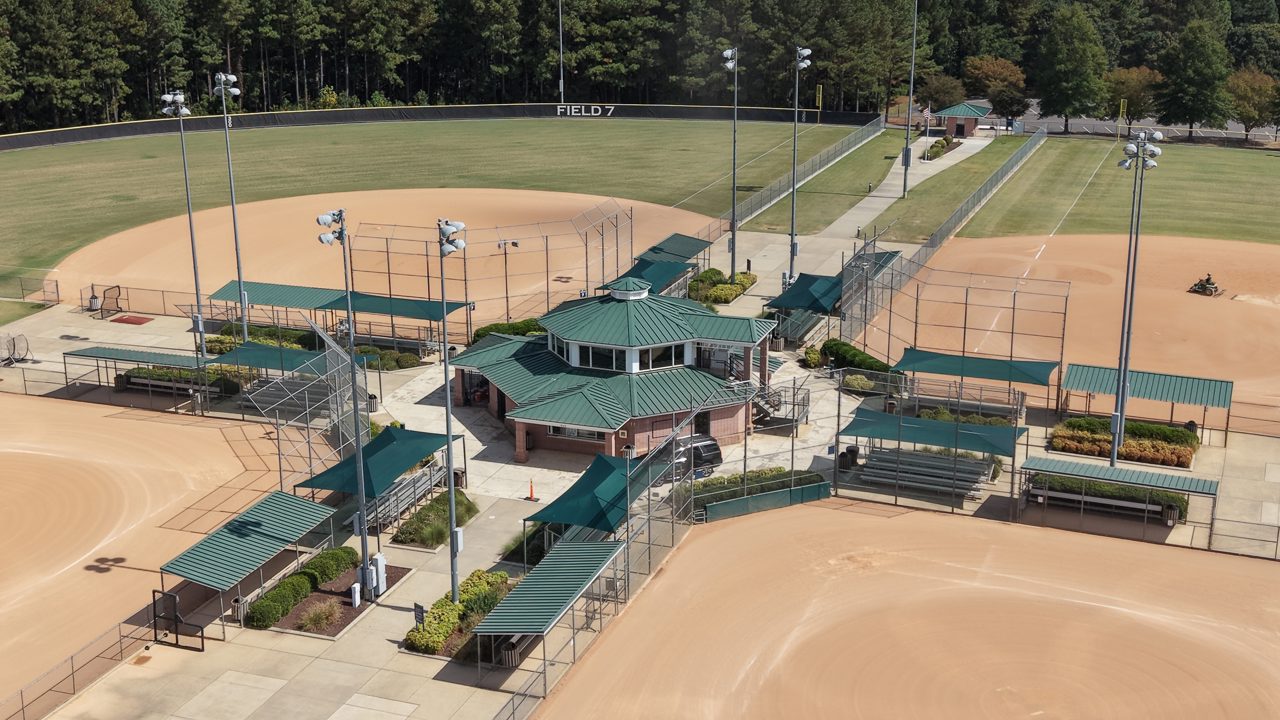
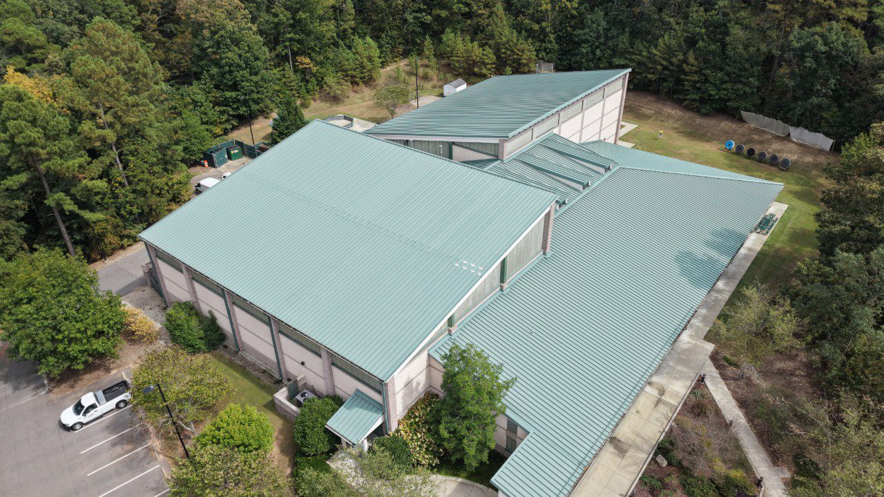
This page focuses on digital twins in Cary, showcasing various projects and applications that utilize drones and sensors to gather data and provide actionable insights. Digital twins are virtual replicas of physical entities, enabling real-time monitoring and analysis. In Cary, these technologies are being employed across multiple sectors, including urban planning, infrastructure management, and environmental monitoring.
Applications of Digital Twins in Cary
Digital twins in Cary are enhancing various domains:
- Urban Planning: City planners use digital twins to simulate changes in land use, assess the impact of new developments, and improve traffic management.
- Infrastructure Management: Drones equipped with sensors inspect bridges, roads, and utilities, allowing for proactive maintenance and risk assessment.
- Environmental Monitoring: Digital twins help track air quality, water resources, and wildlife habitats, providing critical data for sustainability efforts.
- Disaster Management: In the event of natural disasters, digital twins can model scenarios to aid emergency response and recovery planning.
The integration of digital twin technology in Cary is not only improving efficiencies but also enhancing the quality of life for its residents. By leveraging real-time data, city officials can make informed decisions that foster growth and sustainability.
Benefits of Digital Twins
Implementing digital twins offers several advantages:
- Improved Decision-Making: Access to accurate and real-time data allows for smarter planning and resource allocation.
- Cost Savings: Predictive maintenance can reduce expenses by addressing issues before they become costly repairs.
- Enhanced Safety: Continuous monitoring helps identify potential hazards, ensuring a safer environment for residents.
- Community Engagement: Digital twins can be used as tools for public outreach, allowing citizens to visualize projects and provide feedback.
As Cary continues to embrace technological advancements, the potential for digital twins to transform urban management and community engagement is significant.
FAQ
What is a digital twin?
A digital twin is a virtual representation of a physical object or system, created using real-time data from sensors and other sources. It allows for analysis and simulation of various scenarios.
How are drones used in digital twin projects?
Drones equipped with sensors capture high-resolution images and data of physical assets, which can then be used to create and update digital twins for accurate monitoring and analysis.
What industries can benefit from digital twins?
Various industries, including urban planning, construction, transportation, and environmental management, can leverage digital twins for improved efficiency, safety, and decision-making.
How does Cary utilize digital twin technology?
Cary uses digital twin technology to enhance urban planning, infrastructure management, and environmental monitoring, ultimately improving the quality of life for its residents.